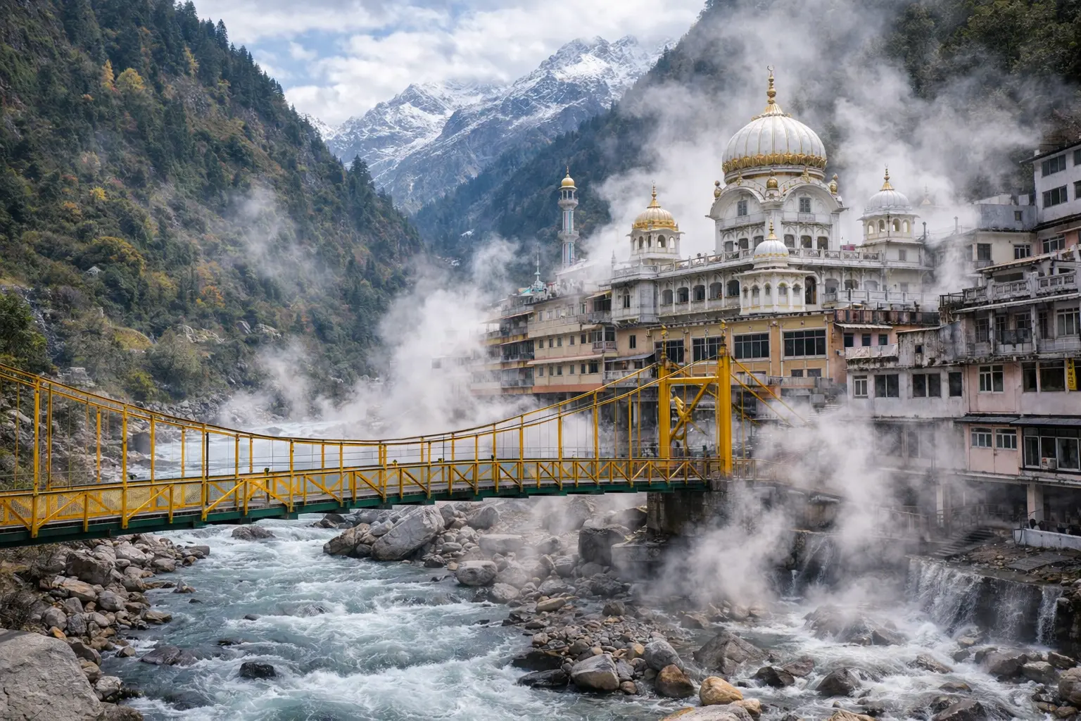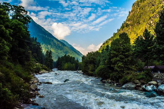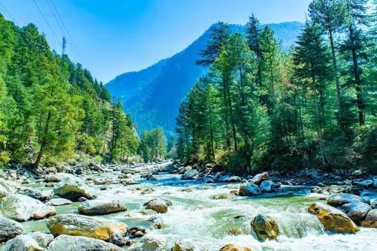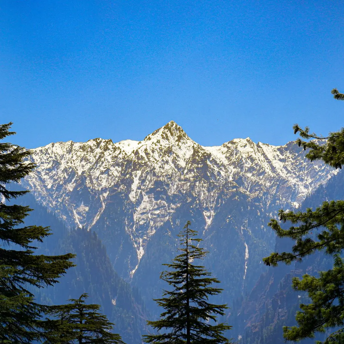
If you could take only one road to understand India’s mountains, it would be the road from Manali to Leh. In roughly 470 to 490 kilometres, depending on the route and the source you read, it climbs out of the green, apple-growing Kullu valley, crosses several high Himalayan passes, drops into the cold desert of Lahaul, runs across the high plains of the Changthang fringe, and finally descends into the Indus valley at Leh. Along the way it passes through almost every kind of mountain landscape the Indian Himalaya has to offer. It is not a road you drive in a day. It is a road you read, slowly, one valley at a time.
Chapter one: the green valley
Manali sits in the Kullu valley on the Beas river, surrounded by deodar and pine forest, orchards, and old wooden villages with slate roofs. This is the Himalaya most visitors picture: rushing water, snow on the ridgelines, terraced fields and temples like the Hidimba Devi shrine in its cedar grove. The monsoon reaches here, which is why everything is so green. It is the last place on the road where the mountains feel soft.
Spend at least a night or two here before going higher. Walk up to Old Manali or Vashisht, or out towards Naggar, and let your body get used to being above 2,000 metres. The extra day is not wasted; it is the first step of acclimatisation.
Chapter two: over Rohtang, or under it
For decades, the only way north from Manali was over the Rohtang Pass, at about 3,980 metres. The name is often translated as “pile of corpses”, a reminder of how dangerous the crossing once was in bad weather. Today most traffic goes through the Atal Tunnel, which opened in 2020 and cuts beneath the Pir Panjal range, bringing travellers out near Sissu in Lahaul. The tunnel has transformed the journey and made Lahaul reachable for much more of the year. Rohtang itself still sees visitors in season, and permits have been required for vehicles going up to the pass; check the current rules before you go.
Chapter three: Lahaul, the hinge
Cross the Pir Panjal and the world changes. The monsoon clouds that soak Kullu mostly stay behind the range, and Lahaul is drier, starker and more open. The Chandra and Bhaga rivers meet near Tandi to form the Chandrabhaga, which flows on into Jammu and Kashmir as the Chenab. Keylong, the district headquarters, is a sensible overnight stop. Here you will see Buddhist gompas alongside Hindu shrines, fields of barley and peas in summer, and villages where life follows the long winter closely.
Lahaul is the hinge of the journey. Behind you is the Himalaya of forests; ahead is the Himalaya of rock, wind and sky.
Chapter four: the high passes
From Darcha the road climbs to Baralacha La, at roughly 4,890 metres, where three valleys meet and the sources of rivers lie in the snowfields. Then comes the wide, surreal landscape near Sarchu, where travellers often stop in seasonal tented camps. Sarchu sits close to the boundary between Himachal Pradesh and Ladakh. Many people find it a hard place to sleep because of the altitude, which is one reason careful travellers prefer to spend the night lower, at Jispa or Keylong, and cross in a long day.
Beyond Sarchu, the Gata Loops twist up the mountainside in a famous series of hairpin bends, followed by Nakee La and Lachung La. Then the road crosses the More Plains, a long, flat tableland at well over 4,500 metres, before rising one final time to Taglang La. Taglang La is often quoted at around 5,300 metres, though figures differ between sources and the signboards themselves are not always reliable. Whatever the exact number, you will feel it.
Chapter five: down to the Indus
After Taglang La the road descends through Rumtse, past red and ochre cliffs and small villages, into the Indus valley. Upshi marks the junction with the river, and from there it is a gentle run past Thiksey monastery, perched on its hill, and Shey, the old royal seat, into Leh. After days of thin air and empty plateaux, Leh’s poplar-lined lanes, apricot trees and old palace above the town feel almost lush.
What the road teaches
The Manali–Leh road is a lesson in how mountains create climates. On one side of a range, rain and forest; on the other, desert. It is a lesson in culture, too: the shift from Hindu temples and Pahari wooden houses to stupas, prayer wheels and Ladakhi homes happens over a few hundred kilometres. And it is a lesson in humility. The road is open only for a few months a year, usually from around late May or June to around October, though the exact dates depend on snow clearance by the Border Roads Organisation. Landslides, snowfall, water crossings and traffic can close sections without warning.
How to travel it well
Take at least two days, preferably three. A popular pattern is Manali to Jispa or Keylong on day one, then a long day over the passes to Leh, or a split with a stop at Sarchu if you are already acclimatised. Many experienced travellers recommend going the other way, from Leh to Manali, after a few days of acclimatising in Leh, because sleeping high on the first nights is the main risk.
Hire a driver who knows the road, or join a reputable group if you are riding a motorbike for the first time. Carry warm layers even in July, because the passes can be freezing. Carry water, snacks, sunscreen, and sunglasses. Fuel stations are few, so fill up when you can; Tandi has long been known as the last reliable pump for a long stretch, but check before you go. Mobile coverage is patchy, and some networks do not work in Ladakh at all.
Altitude, honestly
The single most important thing to know is that this road takes you very high very quickly. Headache, nausea, breathlessness and poor sleep are common. If symptoms get worse, the cure is to go down. Talk to a doctor before you travel if you have heart or lung conditions, and read about acute mountain sickness so you can recognise its warning signs. Our feature in this issue on what to skip on a first high-altitude trip covers this in more detail.
Why it is worth it
There are faster ways to reach Leh, by air or via the Srinagar road. But no other route shows you so much of the Himalaya in one sweep. You start among orchards and end among stupas. In between, you cross the watershed of a continent, sleep under more stars than you have ever seen, and drink sweet tea at roadside dhabas run by families who spend the summer on the plateau. When people say a journey changed them, this is often the road they mean.
Go slowly. Stop often. Let the mountains explain themselves.
More from Issue 47
- March 2023
- Editor’s Letter: Travel in Mountains
- Malshej Ghat – A Mountain Pass in Maharashtra
- Zanskar Valley – The Hidden Gem of Ladakh
- The Kangchenjunga Mountain Range
- Nilgiris Hills – The Blue Mountains
- The Mahuli Duduma Mountain Range, Malkangiri in Odisha
- The Garhwal Mountain Range in Uttarakhand
- Three Days in Tawang, Not a Checklist
- What to Skip on Your First High-Altitude Trip in India
- Munsiyari: The Quieter Kumaon Village Beside Busy Nainital
The Kaveri River
90/Oct2026
The Town You Sleep In
Why the base town shapes a monsoon waterfall trip more than any single fall, what to look for, and towns in Karnataka, Kerala and Goa worth considering.
One village ghat upriver
Train versus road that week
Markets before the 20th, not on it
Journeys Worth Discovering
Explore inspiring destinations, memorable journeys and travel stories from across India and beyond.
Explore destinations